


Upper township voting district 9, Cape May County, New Jersey
About
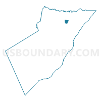
Outline

Summary
| Unique Area Identifier | 617982 |
| Name | Upper township voting district 9 |
| County | Cape May County |
| State | New Jersey |
| Area (square miles) | 1.44 |
| Land Area (square miles) | 1.41 |
| Water Area (square miles) | 0.03 |
| % of Land Area | 97.84 |
| % of Water Area | 2.16 |
| Latitude of the Internal Point | 39.23637670 |
| Longtitude of the Internal Point | -74.69757610 |
Maps


Graphs
Select a template below for downloading or customizing gragh for Upper township voting district 9, Cape May County, New Jersey


Neighbors
Neighoring Voting District (by Name) Neighboring Voting District on the Map
- Upper township voting district 14, Cape May County, NJ
- Upper township voting district 15, Cape May County, NJ
- Upper township voting district 3, Cape May County, NJ
- Upper township voting district 4, Cape May County, NJ